
A little room to wonder
Maps & Scale
Convert map distances, distinguish map types and recognise what resizing changes.
When does a short line on a map represent a long journey?
A ratio connects two distances
A scale of 1:25,000 means that one unit on the map represents 25,000 of the same units on the ground. The units must match before you convert them. One centimetre therefore represents 25,000 centimetres, which is 250 metres. The ratio describes a relationship, not a particular paper size.
A scale bar marks a ground distance directly on the map. If the entire image is proportionally enlarged, the bar enlarges with it. A printed numerical ratio no longer describes the enlarged image accurately unless it is updated.
Work through a route calculation
On a fictional printed map at 1:25,000, a straight line between two points measures 3.2 centimetres. Multiply 3.2 by 250 metres to obtain 800 metres. If a drawn path between the same points measures 4.8 centimetres, its modelled length is 1,200 metres. The route is longer than the straight-line separation.
This calculation does not give a travel time or establish that the path is usable. Slopes, crossings, surfaces and current conditions are outside the distance conversion. State whether you measured a straight line or followed the route.
Choose a view for the question
A larger-scale map, such as 1:10,000, generally covers a smaller area at a given printed size than a smaller-scale map such as 1:1,000,000. The apparently reversed wording comes from the fractions: 1/10,000 is larger than 1/1,000,000.
A topographic map represents land shape and other features using a key and conventions. A transport diagram may stretch distances to make connections easier to read. Neither is automatically wrong: ask what the map is designed to communicate before measuring it.
A map has a date and a viewpoint
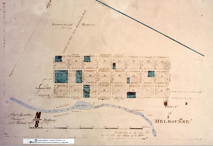
Check title, source, date, legend and scale together. An old map may show a proposed road rather than one built at that time; a current-looking reproduction may contain historical information. All maps select details. An unmarked feature is not proof that nobody used or valued that place.
Only if you feel like trying
Make a scale conversion clear
- Draw an imaginary 5-centimetre route and declare a scale of 1 centimetre to 200 metres.
- Calculate its represented length and add a scale bar.
- Describe what would happen to the numerical scale if the whole drawing were doubled in size.
Optional invented map. Do not disclose your home, school or regular routes, and do not use the exercise as navigation advice.
Look at the sources.
These references informed this introduction. You can check who published them, what evidence they use and whether you would ask another question.
- Geoscience AustraliaWhat is Map Scale?
- Geoscience AustraliaBasics - Topographic Mapping
Research checked 1 November 2026. External pages have their own content and privacy practices.
Where could this connect?
These are editorial links between subjects. You choose which, if any, to follow.
Game Worlds & Level Design
A fictional connection diagram may deliberately preserve routes rather than real distances.
Follow this connection
Geography
A map helps investigate relationships between features and places.
Follow this connectionPatterns & Algebra
A scale conversion is a proportional relationship that can be represented with a formula.
Follow this connection