
A little room to wonder
Geography
Read places as connected systems of land, water, living things and human choices.
Why does a place look and work the way it does?
A place has more than one layer
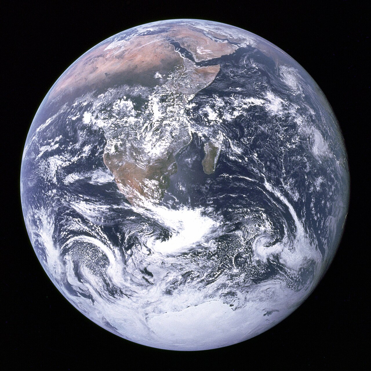
Geography asks where things are, why they are there and how places connect. A river can be studied as flowing water, an animal habitat, a transport route and part of a community’s history. These views answer different questions about the same place.
Physical geography explores features and processes such as landforms and erosion. Human geography explores patterns such as settlement, movement and land use. Joining the two helps explain why a change upstream can matter somewhere far away.
A map makes choices
A map is a selected view, rather than the whole place. A transport map highlights connections; a topographic map shows the shape of the land. Check the title, date, key and scale before deciding what a map can tell you.
Scale relates a map distance to a ground distance. On a printed map at 1:10,000, one centimetre represents 100 metres. Enlarging that print changes the scale, so a scale bar is especially useful when an image is resized.
Look for relationships
Suppose a fictional town proposes a walking route beside a creek. A useful investigation would compare slopes, crossings, shade and existing paths. A short line on a map may cross a steep bank; distance alone does not settle the question.
Keep observations separate from explanations. “There are fewer trees on this map” is different from “construction caused the change”. To investigate a cause, check dates, compare other evidence and ask what the map leaves out.
Only if you feel like trying
Map an imaginary place
- Draw a fictional island with a hill, creek, settlement and two paths.
- Add a key, north arrow and scale bar. Choose which details the map is meant to explain.
- Trace a route between two places. Mark one question your map cannot answer.
Optional paper activity. Use an invented place; you do not need to reveal your home, school or usual routes.
Look at the sources.
These references informed this introduction. You can check who published them, what evidence they use and whether you would ask another question.
- Geoscience AustraliaWhat is Map Scale?
- Geoscience AustraliaClassroom resources
Research checked 1 November 2026. External pages have their own content and privacy practices.
Where could this connect?
These are editorial links between subjects. You choose which, if any, to follow.
Cities & Settlements
Settlement patterns connect population, movement, services, land use and the geography of a place.
Follow this connection
Ecology
Water, landforms and land use shape habitats and the connections between them.
Follow this connectionHistory
Comparing maps from different dates can reveal changes that need historical explanation.
Follow this connectionMaps & Scale
Maps are geographic models whose scale and selected information shape what a place appears to be.
Follow this connectionMathematics
Scale, coordinates and comparisons help turn a drawing into a usable map.
Follow this connectionRivers & Changing Landscapes
River processes connect moving water with the changing shape and use of a landscape.
Follow this connectionWeather & Climate
Weather and climate help explain the atmospheric conditions experienced across different places and times.
Follow this connection